Electronic Navigation Charts – Precision Marine Mapping
4 products
Showing 1 - 4 of 4 products
Electronic Navigation Charts – Precision Marine Mapping
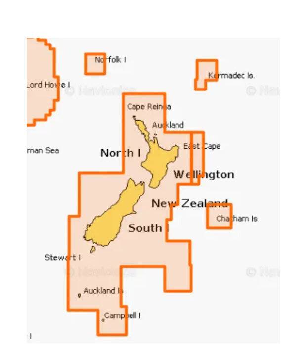
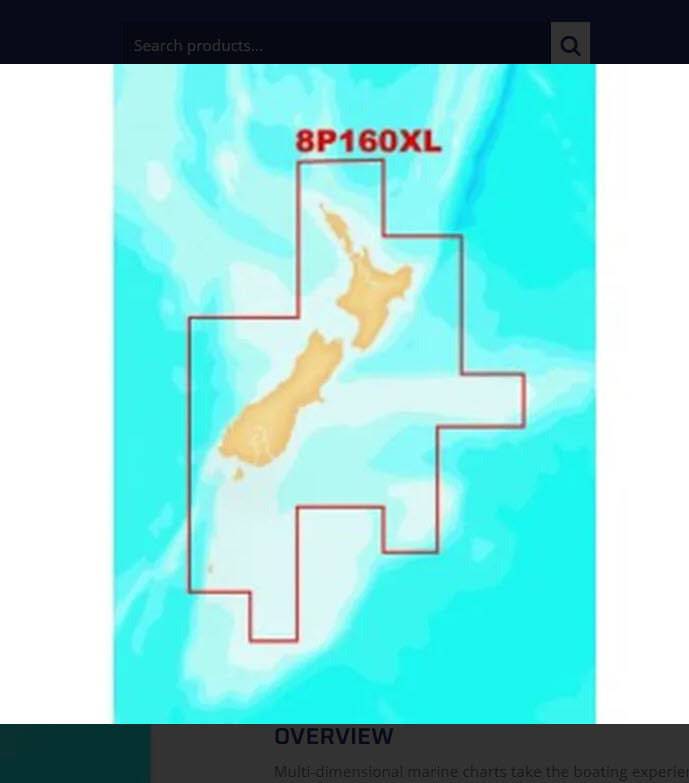
At Action Outdoors, we provide advanced Electronic Navigation Charts that help you navigate oceans, lakes, and rivers with accuracy and confidence. Featuring 3D imagery and detailed bathymetric lines, these charts provide a clear understanding of your surroundings above and below the surface. Whether you’re cruising, fishing, or sailing offshore, our electronic charts ensure safer and smarter navigation.
Key Features of Electronic Navigation Charts
- 3D Imagery – Visualise the underwater landscape in detail for precise route planning.
- Bathymetric Lines – Understand depth changes and underwater contours with clarity.
- Enhanced Safety – Detect hazards early and plan safer journeys.
- User-Friendly Operation – Easy-to-use systems with accurate results for all skill levels.
Integrated Electronic Navigation Equipment
Our navigation charts are compatible with a wide range of marine electronics, including:
- Autopilots – Automated course management for hands-free steering.
- Radars – Improved surveillance and safety in all weather conditions.
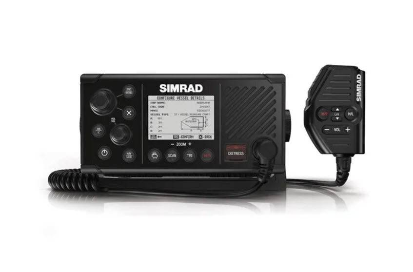
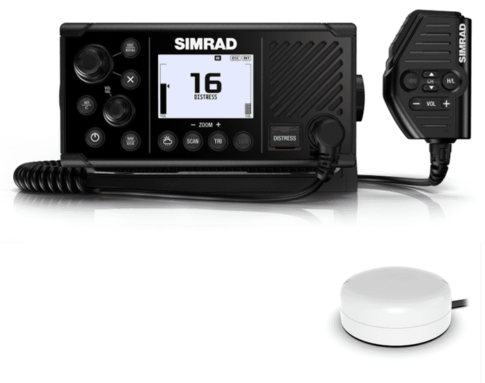
- Chart Plotters & GPS Plotters – Real-time positioning and route planning.
- Depth Sounders – Detect fish and underwater structures using reflected sound energy.
Why Choose Our Navigation Charts?
- Accuracy – Sensitive technology picks up even the smallest distortions in the water.
- Reliability – Plan routes, monitor your current position, and project future locations.
- Versatility – Suitable for boats, yachts, kayaks, and a wide variety of marine applications.
- Fishing Advantage – Identify underwater features and fish-holding zones for better results.
Shop Navigation Charts at Action Outdoors
Explore our wide range of Electronic Navigation Charts and accessories, available in multiple sizes to suit your vessel. Please take advantage of our great deals and equip your boat with technology that delivers confidence, safety, and precision on every journey.
- Electronic navigation charts
- 3D marine navigation charts
- bathymetric navigation maps
- GPS plotters and chart plotters NZ


Recently viewed
Blog posts
View all
Fishing Net Manufacturer Guide: Your 2026 Industry Roadmap

Heavy Duty Application Enhancing Your Fishing Strategy with NZ Made Flounder Beach Drag Nets


